Items Similar to Three Engravings Depicting Sailing Yachts Competing in 1885 America's Cup Trials
Want more images or videos?
Request additional images or videos from the seller
1 of 21
UnknownThree Engravings Depicting Sailing Yachts Competing in 1885 America's Cup Trials1885
1885
About the Item
Three woodcut engravings produced in 1885 to commemorate the sailing yacht trials competition to determine the team to represent the United States in the America's Cup races off the New Jersey coast in that same year.
These three beautiful woodcut engravings are part of a group of six equally attractive prints, all framed identically in gold scrolled wood frames with pleasing light grey French mats, each with a medium grey band. Each frame measures 16.13" x 17.25" x 0.5". See Item Reference #LU117325094852 to view the other three prints in this series. These prints may be purchased individually for $1,075/each, as a set of three for $2,875/3 or as a set of six for $5,575/6.
Three American racing yachts, the Puritan, the Priscilla and the Bedouin, participating in the 1885 America’s Cup trials off the coast of New Jersey are shown in their qualifying races. The Puritan, owned by several members of the Eastern Yacht Club in Boston, was the eventual winner in two of the three qualifying raves and was selected to represent America in the America’s Cup against its British rival Genesta. The race and the rivalry with Britain captured the attention of the country, with Harper’s Weekly stating "There has been nothing in the history of yachting in this country more important than the present race between the Boston sloop Puritan and the British cutter Genesta”. Despite substantial coverage in the American press, a brief news item noted that London was more interested in reports on the death of Jumbo the Elephant, which P. T. Barnum had previously purchased from a London zoo. The Puritan was eventually victorious over Genesta in the 1885 America’s Cup.
- Creation Year:1885
- Dimensions:Height: 16.13 in (40.98 cm)Width: 17.25 in (43.82 cm)Depth: 0.5 in (1.27 cm)
- Medium:
- Period:
- Condition:
- Gallery Location:Alamo, CA
- Reference Number:
About the Seller
5.0
Gold Seller
These expertly vetted sellers are highly rated and consistently exceed customer expectations.
Established in 2011
1stDibs seller since 2019
242 sales on 1stDibs
Typical response time: 1 hour
- ShippingRetrieving quote...Ships From: Alamo, CA
- Return PolicyA return for this item may be initiated within 7 days of delivery.
More From This SellerView All
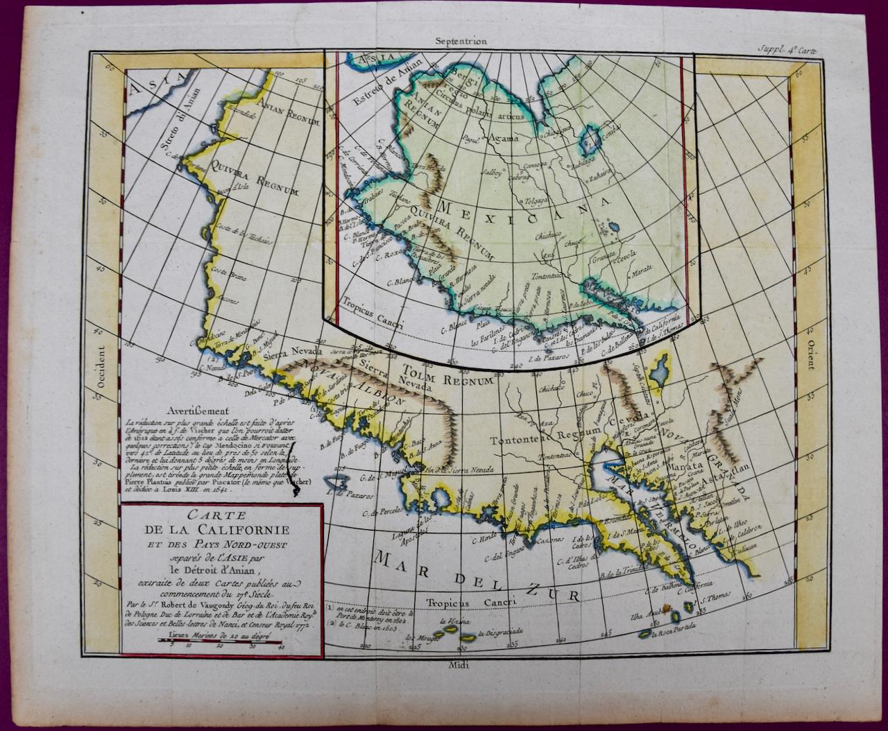
- California: 18th Century Hand-colored Map by de VaugondyBy Didier Robert de VaugondyLocated in Alamo, CAThis is an 18th century hand-colored map of the western portions of North America entitled "Carte de la Californie et des Pays Nord-Ouest separés de l'Asie par le détroit d'Anian, ex...Category
1770s Landscape Prints
MaterialsEngraving
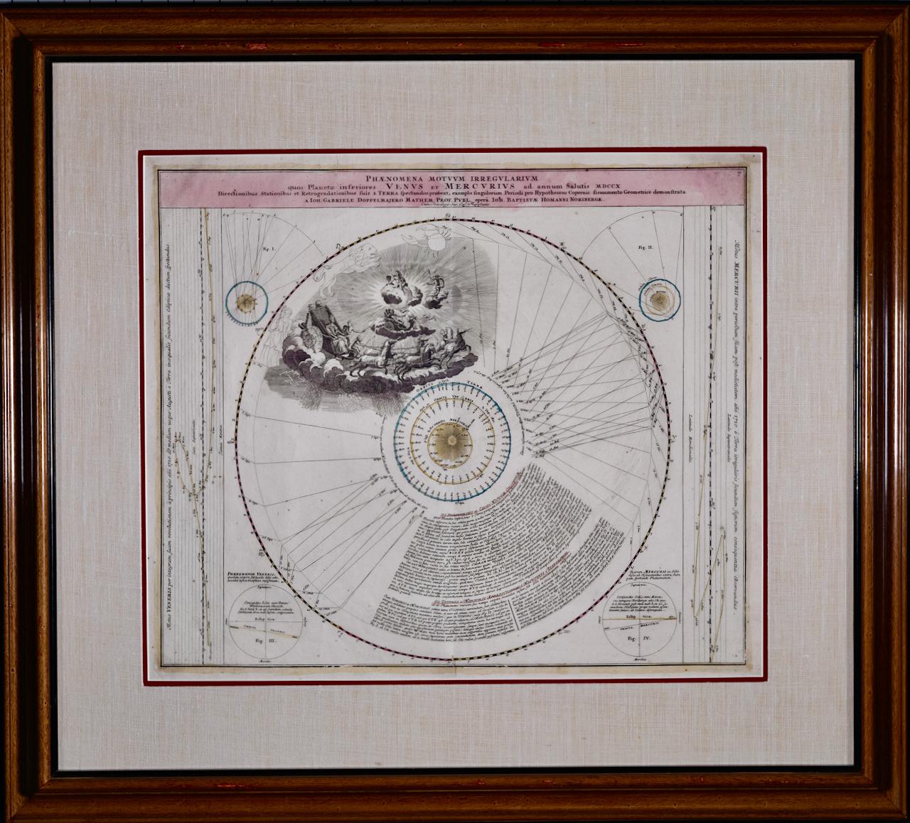
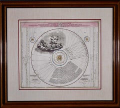
- The Orbits of Venus and Mercury: An 18th C. Framed Celestial Map by DoppelmayrBy Johann Gabriel Doppelmayr 1Located in Alamo, CAThis 18th century hand-colored copperplate celestial map by Johann Doppelmayr entitled "Phænomena Motuum Irregularium quos Planetar inferiores Venus et M...Category
Early 18th Century Landscape Prints
MaterialsEngraving
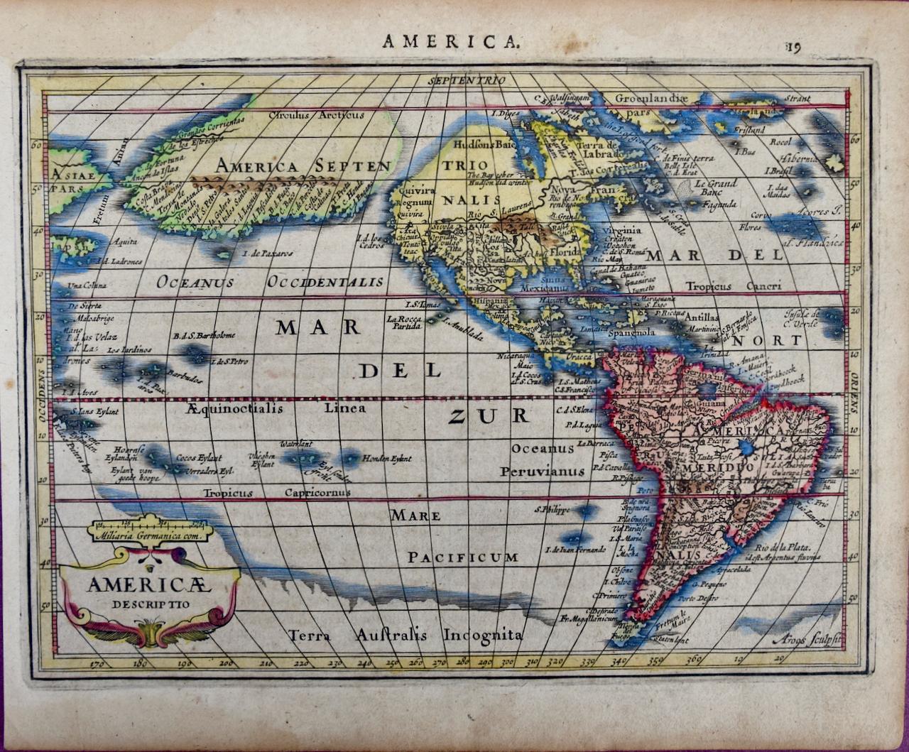
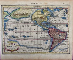
- North & South America: A 17th Century Hand-colored Map by Jansson & GoosBy Johannes JanssonLocated in Alamo, CAA 17th century hand-colored map of North & South America entitled "Americae Descriptio" by the cartographer Johannes Jansson, published in Jansson's Atlas Minor in Amsterdam in 1628....Category
1620s Landscape Prints
MaterialsEngraving
- Persia & Afghanistan: A Framed Hand-colored 17th Century Map by John CaryBy John CaryLocated in Alamo, CAThis colorful and detailed early 18th century copperplate map by John Cary entitled "A New Map of Persia from the Latest Authorities" was published in London in 1801. It depicts Persia, the region of modern day Afghanistan, the Caspian Sea, the Sea of Aral, the Persian Gulf...Category
Early 19th Century Old Masters More Prints
MaterialsEngraving
- The Normandy Region of France: A 17th C. Hand-colored Map by Sanson and JaillotBy Nicholas Sanson d'AbbevilleLocated in Alamo, CAThis large hand-colored map entitled "Le Duché et Gouvernement de Normandie divisée en Haute et Basse Normandie en divers Pays; et par evêchez, avec le Gouvernement General du Havre ...Category
1690s Landscape Prints
MaterialsEngraving
- View of Pisaro, Italy: A 16th Century Hand-colored Map by Braun & HogenbergBy Franz HogenbergLocated in Alamo, CAThis is a 16th century original hand-colored copperplate engraved map of View of Pezaro (Pisaro), Italy entitled "Pisaurum vulgo Pezaro" by Georg Braun & Franz Hogenberg, from their famous city atlas "Civitates Orbis Terrarum", published in Augsberg, Germany in 1575. The map depicts a view of Pesaro, Italy from the west looking over the town to the Adriatic Sea. The River Foglia flows into the Adriatic in the foreground. The only identifiable building is the cathedral of San Domenico, which rises above the other roofs with its tall spire. Two women, dressed in styles of the 16th century are in conversation on a hill in the foreground on the left. Pesaro is in the province of Pesaro and Urbino and lies on the Adriatic and east of Florence. The city, which was founded by the Etruscans and named Pisaurum by the Romans, belonged from AD 754 onwards to the Papal States, and after 1285 was controlled by the princely families of Malatesta, Sforza and della Rovere. Today it is the capital of the province of Pesaro and Urbino and has a population of about 92,000. Pesaro's most famous resident, composer Gioacchino Rossini, was born here in 1792. The following is an English translation of an excerpt from Braun's description of the city: "We believe that the astonishingly short life of the inhabitants of Pesaro comes not only from the insalubrious air, but also from the great quantity of delectable and delicious fruits which they consume to excess. For this causes the production in their bodies of evil humours, which then lead to incurably fatal diseases. The area around the city is most charming and well planted with vineyards, fig trees, olive trees and other fruit-bearing trees." References: Van der Krogt 4, 3369, state 1; Taschen, Braun and Hogenberg...Category
16th Century Old Masters Landscape Prints
MaterialsEngraving


You May Also Like
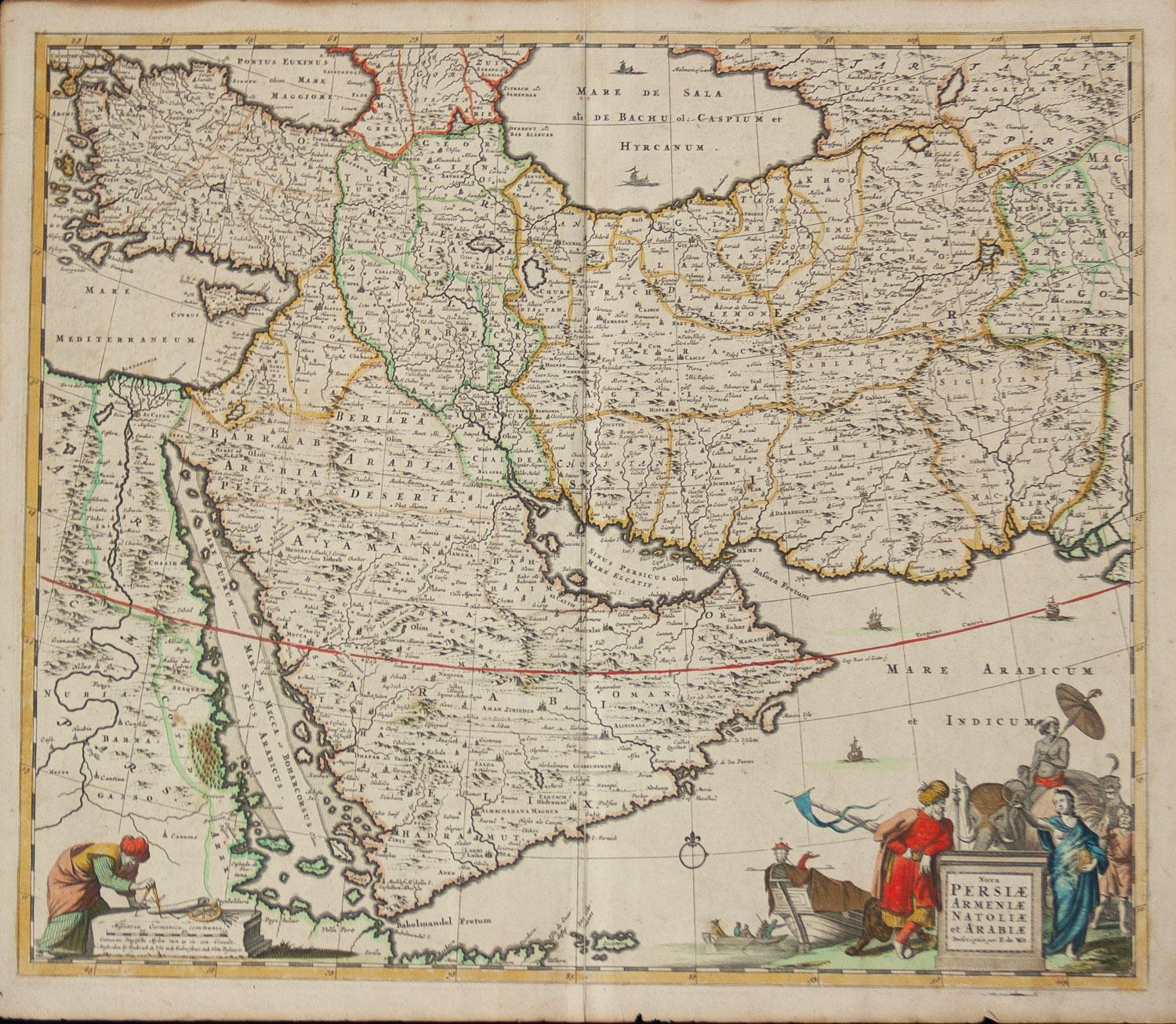
- Persiae, Armeniae, Natoliae et Arabiae Descriptio per Frederick deWit 1666 mapLocated in Paonia, COMap of Persiae, Armeniae, Natoliae et Arabiae Descriptio per F de Wit 1688 engraving from: Atlas Contractus Orbis Terrarum Praecipuas ac Novissimas Complectens Tabulas. Amsterdam, N. Visscher, 1656-77. (Koeman III, Vis5-8) This highly decorative map of the Middle East is by the Dutch engraver, publisher, and map seller...Category
1660s Realist Landscape Prints
MaterialsEngraving
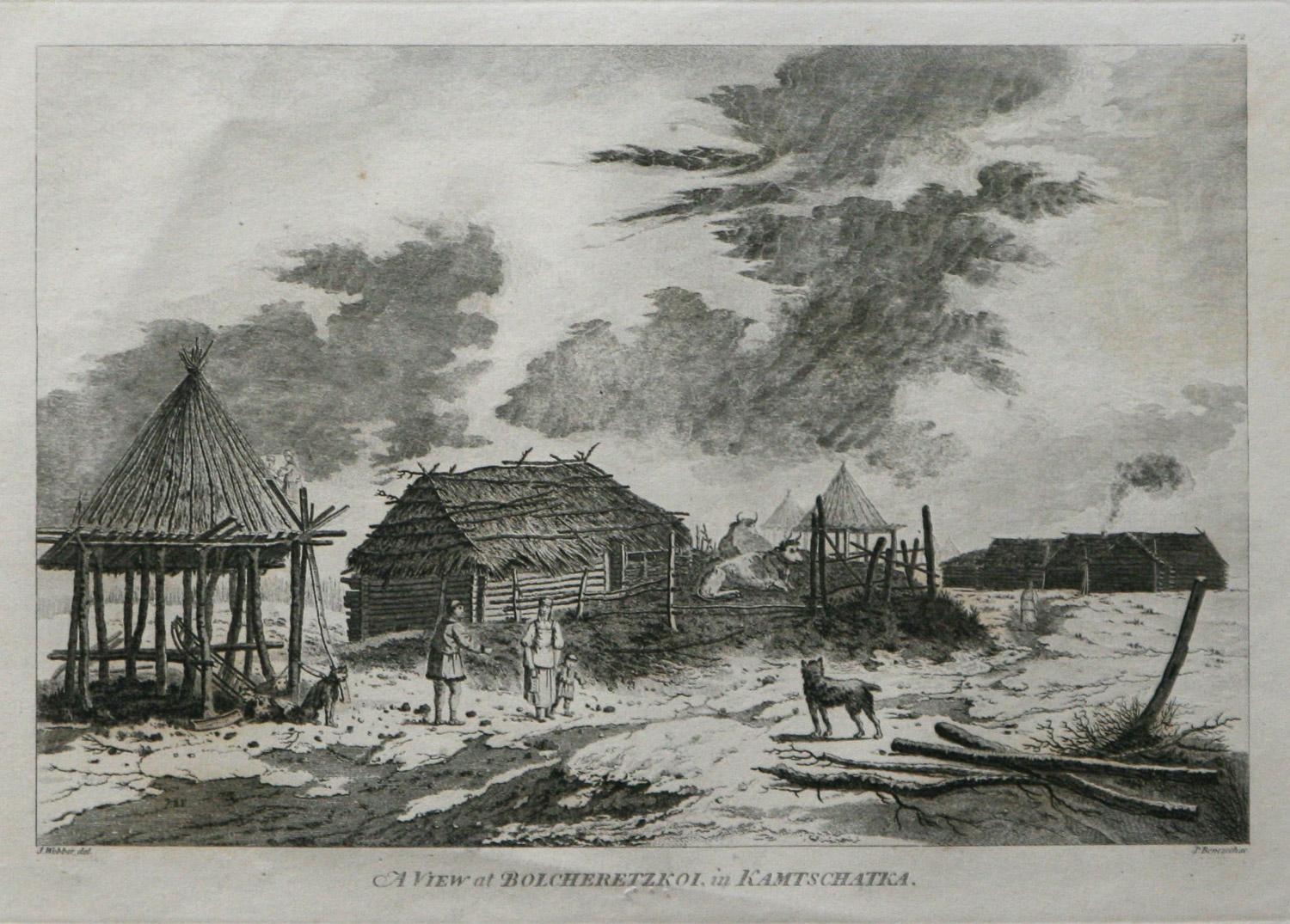
- A View at Bolcheretzko (Russia) 1784 Captains Cook Final Voyage by John WebberBy John WebberLocated in Paonia, COA View at Bolcheretzko (Russia) is from the 1784 First Edition Atlas Accompanying Capt. James Cook and King; Third and Final Voyage of Captain James Cook.John Webber (1752-1793) was ...Category
1780s Realist Landscape Prints
MaterialsEngraving
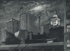
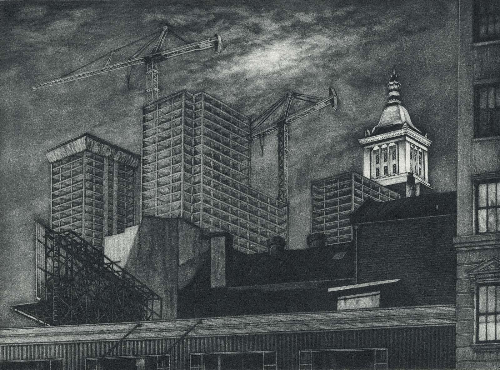
- Cranes and Concrete (in the 80s, a boom saw buildings racing into the sky?By Frederick MershimerLocated in New Orleans, LA"Cranes and Concrete" is Frederick Mershimer's mezzotint of the construction scene on Broadway between 13th and 14th streets. Mershimer is no strang...Category
1980s Contemporary Landscape Prints
MaterialsMezzotint
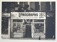
- LITHOGRAPHS Greenwich Village NYC, Signed Mezzotint, Art Gallery, PhotorealismBy John BaederLocated in Union City, NJLITHOGRAPHS Greenwich Village NYC by the American photorealist artist John Baeder is a limited edition mezzotint printed using hand printmaking techniques on archival, cream colored ...Category
1970s Photorealist Landscape Prints
MaterialsMezzotint
- Map of the County of Buckingham From an Actual SurveyLocated in Paonia, COCartographers Christopher (1786-1855) and John (1791-1867) Greenwood were surveyors from Yorkshire, who undertook an ambitious project to produce a series of large-scale maps of the counties of England, Wales and Scotland.The maps represent a remarkable and impressive surveying achievement forming an important record of the counties depicted. In the years 1817-1832 the Greenwood brothers published the Atlas of The Counties of England from an Actual Survey. This Atlas was finely drafted and engraved and decorated with large vignettes of prominent buildings of the county. This map of Buckingham County is beautifully hand colored and is in very good condition. There is a vignette of Stowe House...Category
19th Century Other Art Style More Prints
MaterialsEngraving
- England Map of the County of Southampton from an Actual SurveyLocated in Paonia, COCartographers Christopher (1786-1855) and John (1791-1867) Greenwood were surveyors from Yorkshire, who undertook an ambitious project to produce a series of large-scale maps of the counties of England, Wales and Scotland.The maps represent a remarkable and impressive surveying achievement forming an important record of the counties depicted. In the years 1817-1832 the Greenwood brothers published the Atlas of The Counties of England from an Actual Survey. This Atlas was finely drafted and engraved and decorated with large vignettes of prominent buildings of the county. This map of Southampton County is beautifully hand colored and is in very good condition. There is a vignette of Winchester Cathedral...Category
19th Century Other Art Style Landscape Prints
MaterialsEngraving