Items Similar to Early 19th Century Hand Coloured Map of North America by Aaron Arrowsmith


Want more images or videos?
Request additional images or videos from the seller
1 of 6
Early 19th Century Hand Coloured Map of North America by Aaron Arrowsmith
About the Item
Hand coloured map in French by English cartographer Aaron Arrowsmith (1750–1823) titled "Amerique Septentionale" (North America).
Map size: 9.5" x 8"
Mat size: 20.5" x 14.25".
- Creator:Aaron Arrowsmith (Maker)
- Dimensions:Height: 20.5 in (52.07 cm)Width: 14.25 in (36.2 cm)Depth: 0.1 in (2.54 mm)
- Materials and Techniques:
- Place of Origin:
- Period:
- Date of Manufacture:circa 1810
- Condition:Wear consistent with age and use. Selling with the matting but should be re-matted as it has some wear.
- Seller Location:Hamilton, CA
- Reference Number:1stDibs: LU1355214145631
About the Seller
5.0
Platinum Seller
These expertly vetted sellers are 1stDibs' most experienced sellers and are rated highest by our customers.
Established in 2010
1stDibs seller since 2015
1,225 sales on 1stDibs
Typical response time: 1 hour
- ShippingRetrieving quote...Ships From: Hamilton, Canada
- Return PolicyA return for this item may be initiated within 3 days of delivery.
More From This SellerView All
- Early 19th Century Hand Colored Map of the United States and Caribbean IslandsLocated in Hamilton, OntarioHand coloured early 19th century map by Giraldon of France titled "Etats Unis et Grandes Antilles" (United States and Greater Antilles).Category
Antique Early 19th Century French Maps
MaterialsPaper
- 18th Century Map of the Southern Balkans by Giovanni Maria CassiniBy Giovanni Maria CassiniLocated in Hamilton, Ontario18th century map by Italian engraver Giovanni Maria Cassini (Italy 1745-1824). Map of the Southern Balkans: Rome. Hand colored and copper engraved print done in the year 1788. It in...Category
Antique 18th Century Italian Maps
MaterialsPaper
- 17th Century Nicolas Visscher Map of Southeastern EuropeLocated in Hamilton, OntarioA beautiful, highly detailed map of southeastern Europe by Nicolas Visscher. Includes regions of Northern Italy (showing the cities Bologna, Padua, and Venice), Bohemia, Austria (sho...Category
Antique 17th Century Dutch Maps
MaterialsPaper
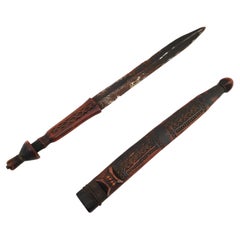
- 19th Century African Shona DaggerLocated in Hamilton, Ontario19th Century dagger from the Shona people of Zimbabwe. It features beautiful carvings, a rich aged patina and a handmade steeped blade.Category
Antique 1890s Zimbabwean Arms, Armor and Weapons
MaterialsMetal
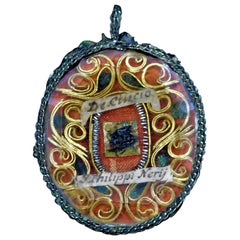
- 19th Century, Reliquary Saints RelicsLocated in Hamilton, Ontario1860's Saints Relics 2" long x 1.5" wide x .25" deep.Category
Antique 1860s Victorian Religious Items
MaterialsMetal, Gold, Enamel
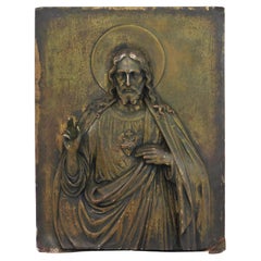
- 19th Century Italian Relief Bronze Plaque of Jesus ChristLocated in Hamilton, OntarioWell crafted with a beautiful patina, 1890's bronze relief plaque of Jesus from Italy measuring 10" x 7.5" x .75".Category
Antique Late 19th Century Italian Figurative Sculptures
MaterialsBronze


You May Also Like
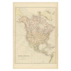
- Antique Decorative Coloured Map of North America, 1882Located in Langweer, NLThis original antique map of North America is from the Blackie & Son Atlas published in 1882. Here are several points of interest about this map: 1. **Political Borders**: The map l...Category
Antique 1880s Maps
MaterialsPaper
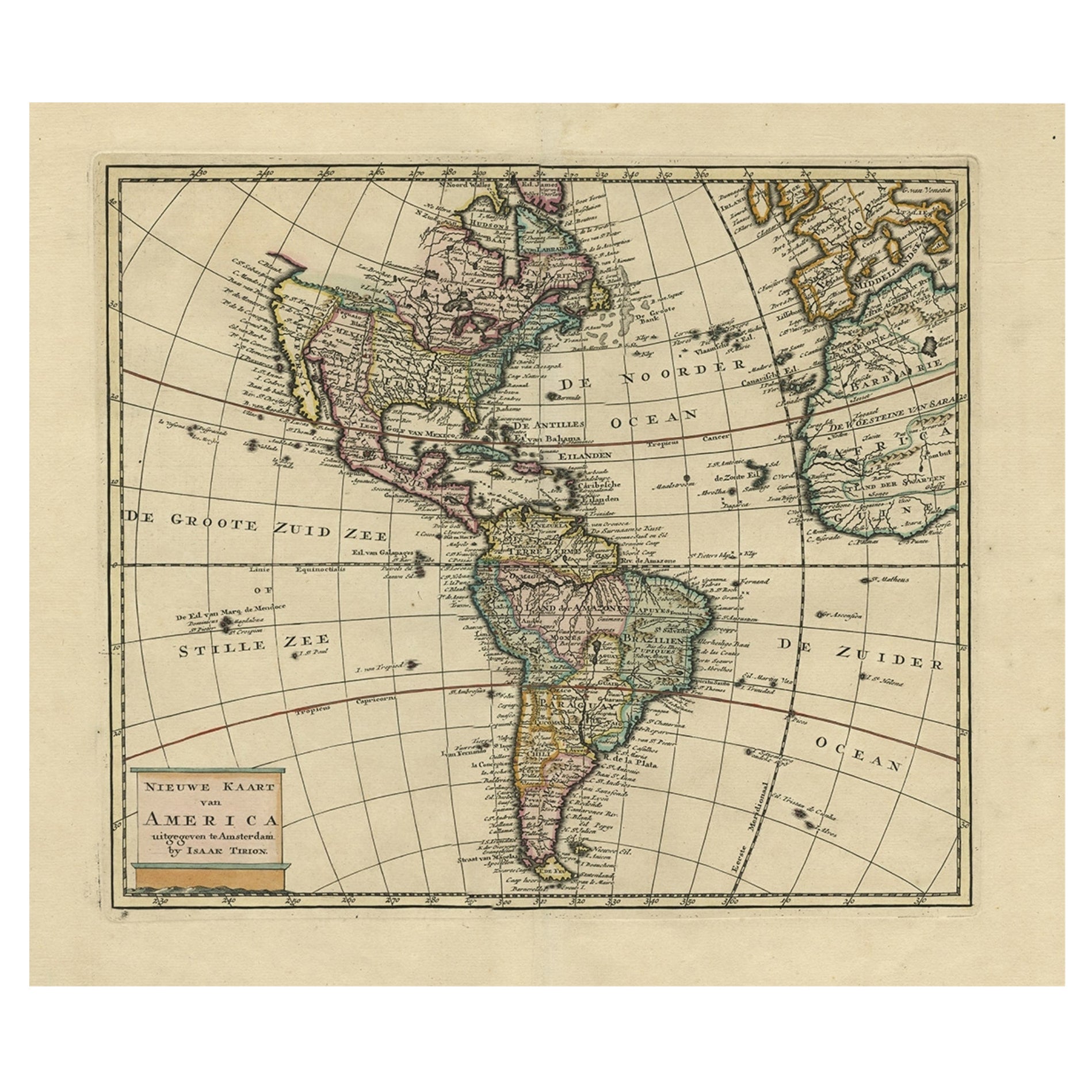
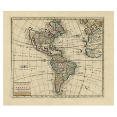
- Antique Hand-Coloured Map of North and South America, ca.1765Located in Langweer, NLDescription: Antique map titled 'Nieuwe Kaart van Amerika.' Attractive map of North and South America, the western part of Africa and south west Europe. Source unknown, to be determi...Category
Antique 1760s Maps
MaterialsPaper
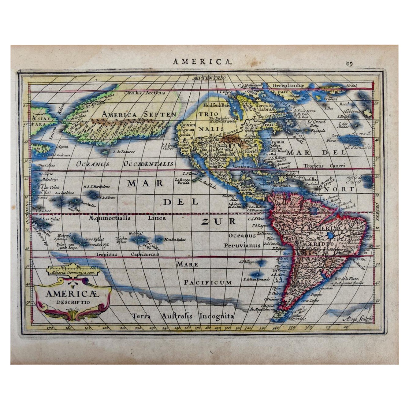
- North & South America: A 17th Century Hand-colored Map by Jansson & GoosBy Johannes JanssoniusLocated in Alamo, CAA 17th century hand-colored map of North & South America entitled "Americae Descriptio" by the cartographer Johannes Jansson, published in Jansson's Atlas Minor in Amsterdam in 1628....Category
Antique 1620s Dutch Maps
MaterialsPaper
- Original Antique Map of Central America / Florida, Arrowsmith, 1820Located in St Annes, LancashireGreat map of Central America. Drawn under the direction of Arrowsmith. Copper-plate engraving. Published by Longman, Hurst, Rees, Orme and Brown, 1820 Unframed.Category
Antique 1820s English Maps
MaterialsPaper
- 1864 Map of North America, Antique Hand-Colored Map, by Adolphe Hippolyte DufourLocated in Colorado Springs, COOffered is a map of North America entitled Amerique du Nord from 1864. This rare, separately published wall map was produced by Adolphe Hippolyte Dufour. This map includes vibrant an...Category
Antique 1860s French Maps
MaterialsPaper
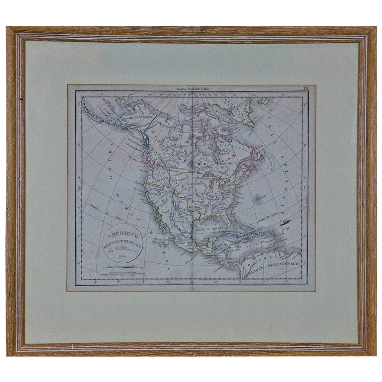
- America "Amérique Septentrionale": A 19th Century French Map by DelamarcheBy Maison Delamarche 1Located in Alamo, CAThis framed mid 19th century map of North America entitled "Amérique Septentrionale" by Felix Delamarche was published in Paris in 1854 by Quay de l'Horloge du Palais, avec les Carte...Category
Antique Mid-19th Century American Other Maps
MaterialsPaper


Recently Viewed
View AllMore Ways To Browse
Antique American Maps
French Map Of America
Antique Maps North America
Antique Maps Of North America
Authentic Antique Maps
Antique Rare Maps
Rare Antique Maps
Map Of Provence
16th Century World Map
Map Of France
Buy Antique Paper
Map Of Itsly
World Atlas
Antique Maps 18th Century
Antique Land
Antique Old Maps
Used World Atlas
Antique German Collectibles