Items Similar to Antique Map of Spain and Portugal by Tardieu, circa 1795


Want more images or videos?
Request additional images or videos from the seller
1 of 6
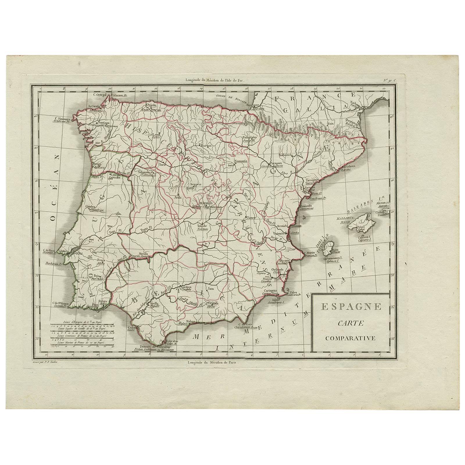
Antique Map of Spain and Portugal by Tardieu, circa 1795
About the Item
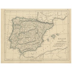
The image is an antique map titled "Hispanie Betique et Lusitanie", which depicts the Iberian Peninsula during the Roman times, highlighting the provinces of Hispania Baetica (Betique), Lusitania, and parts of Tarraconensis. These Roman provinces correspond to large parts of modern-day Spain and Portugal.
The map shows a detailed layout of the provinces with Roman settlements, roads, and topographic elements like rivers and mountain ranges. The coastline is intricately detailed, with the Mediterranean Sea labeled as "Mare Internum", the Atlantic Ocean to the west, and the Cantabrian Sea in the north. Borders of the provinces are demarcated, with Baetica to the south, Lusitania covering the western region, and the northern part of the map hinting at the expanse of Tarraconensis.
The map likely contains labels for important Roman cities, roads (such as the Via Augusta), rivers like the Guadalquivir and Tagus, and mountain ranges such as the Sierra Morena and the Cantabrian Mountains. The cartography style suggests a publication date that could be from the late 18th to early 19th century, a period when there was a renewed interest in classical geography.
The map comes from the work "Atlas Universel de geographie physique et politique, ancienne et moderne" by the geographers Edme Mentelle and Pierre Grégoire Chanlaire, published in Paris. The atlas aimed to provide comprehensive coverage of world geography, both contemporary and historical, which would have been an invaluable resource for scholars and the general public interested in geography and history during that period.
The title cartouche is simple and functional, matching the utilitarian style of the map. The overall aesthetic reflects the Enlightenment ideals of clarity, education, and a deep respect for the classical world, which would have been the guiding principles of the atlas this map was a part of.
- Dimensions:Height: 16.15 in (41 cm)Width: 21.26 in (54 cm)Depth: 0.02 in (0.5 mm)
- Materials and Techniques:
- Period:
- Date of Manufacture:circa 1795
- Condition:General age-related toning. Few tiny defects/holes in the map (nearly invisible). Please study images carefully.
- Seller Location:Langweer, NL
- Reference Number:
About the Seller
5.0
Platinum Seller
These expertly vetted sellers are 1stDibs' most experienced sellers and are rated highest by our customers.
Established in 2009
1stDibs seller since 2017
1,967 sales on 1stDibs
Typical response time: <1 hour
- ShippingRetrieving quote...Ships From: Langweer, Netherlands
- Return PolicyA return for this item may be initiated within 14 days of delivery.
More From This SellerView All
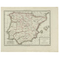
- Antique Map of Spain by P.F. Tardieu, circa 1798By Pierre François TardieuLocated in Langweer, NLAntique map titled 'Espagne carte comparative', showing river systems, the modern states of Spain and Portugal and the Roman provinces of Lusitania, Beatica & Hispania Tarraconensis....Category
Antique Late 18th Century Maps
MaterialsPaper
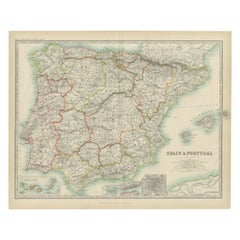
- Antique Map of Spain and Portugal by Lowry, '1852'Located in Langweer, NLAntique map titled 'Spain and Portugal'. Original map of Spain and Portugal. This map originates from 'Lowry's Table Atlas constructed and engraved ...Category
Antique Mid-19th Century Maps
MaterialsPaper
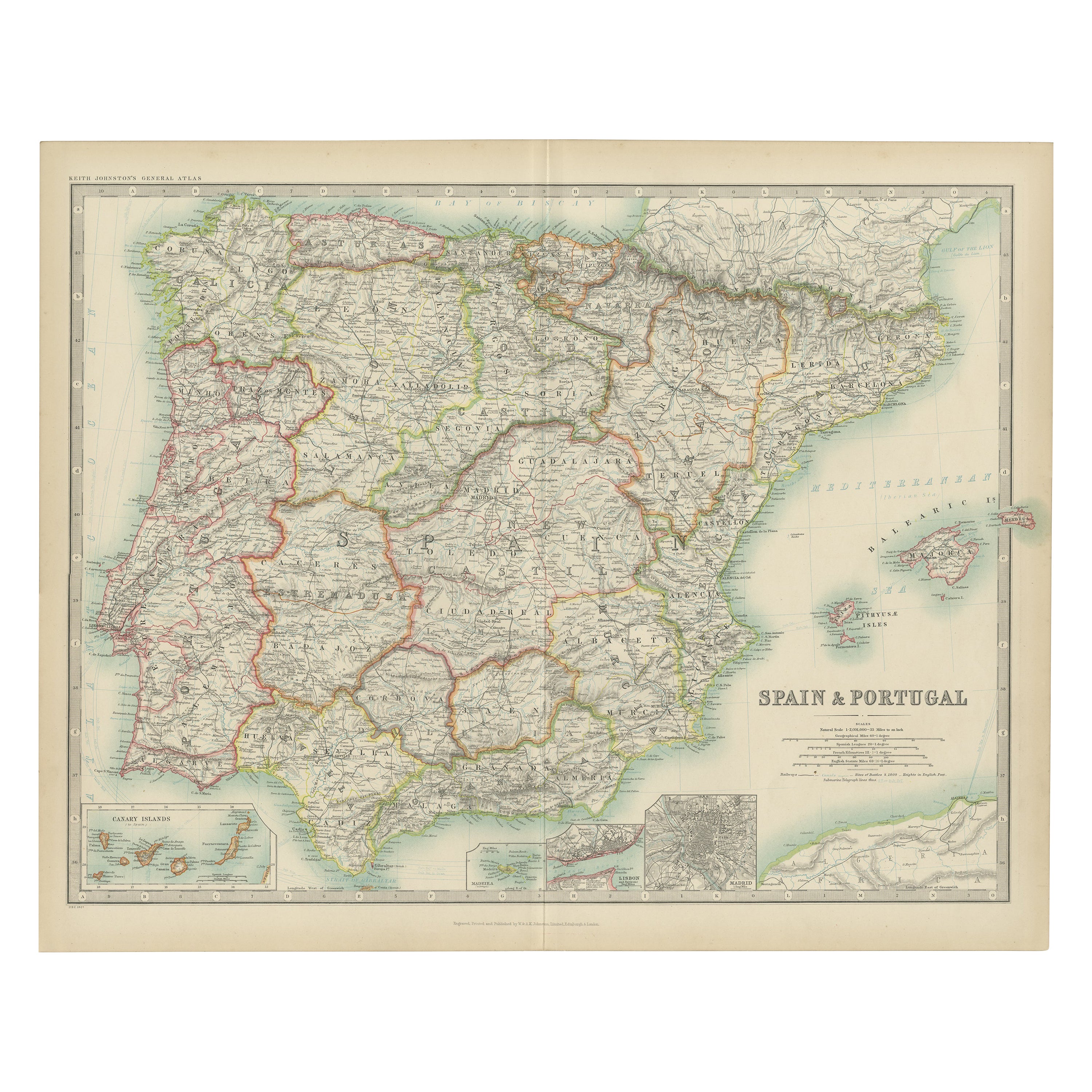
- Antique Map of Spain and Portugal by Johnston, '1909'Located in Langweer, NLAntique map titled 'Spain and Portugal'. Original antique map of Spain and Portugal. With inset maps of the Canary Islands, Madeira, Lisbon and Ma...Category
Early 20th Century Maps
MaterialsPaper
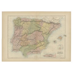
- Antique Map of Spain and Portugal by Levasseur, '1875'Located in Langweer, NLAntique map titled 'Carte générale de l'Espagne et du Portugal (..)'. Large map of Spain and Portugal. This map originates from 'Atlas de Géographie Moder...Category
Antique Late 19th Century Maps
MaterialsPaper
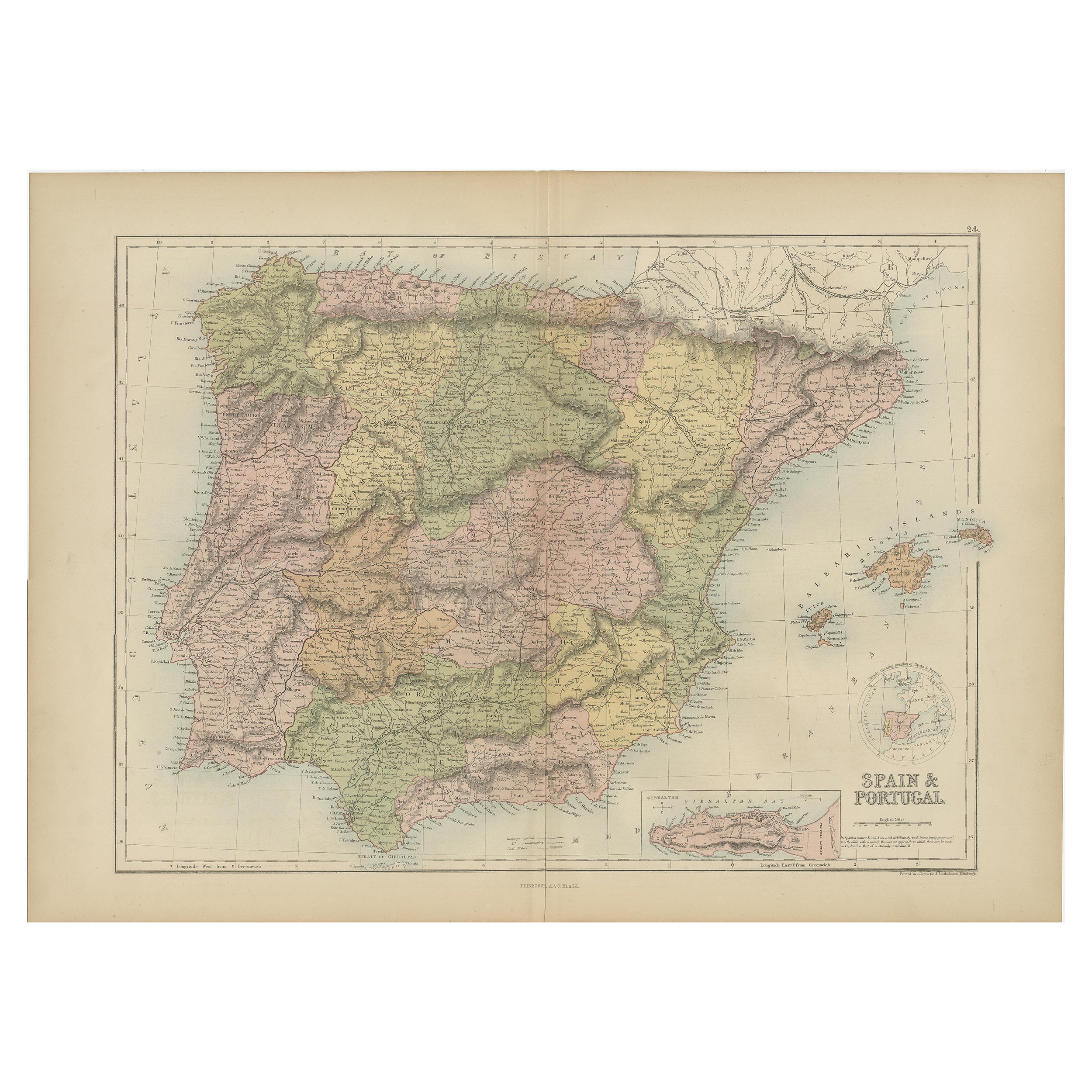
- Antique Map of Spain and Portugal by A & C. Black, 1870Located in Langweer, NLAntique map titled 'Spain and Portugal'. Original antique map of General map of Spain and Portugal with inset map of Gibraltar. This map originates from ‘Black's General Atlas of The...Category
Antique Late 19th Century Maps
MaterialsPaper
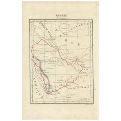
- Antique Map of Arabia by Tardieu '1843'Located in Langweer, NLAntique map titled 'Arabie'. Attractive small map of Arabia. This map originates from 'Dictionnaire Universel de Geographie Moderne' 4th Edition, by A.Pe...Category
Antique Mid-19th Century Maps
MaterialsPaper

You May Also Like
- Original Antique Map of Spain and Portugal, circa 1790Located in St Annes, LancashireSuper map of Spain and Portugal Copper plate engraving by A. Bell Published, circa 1790. Unframed.Category
Antique 1790s English Other Maps
MaterialsPaper
- Original Antique Map of Spain and Portugal by Thomas Clerk, 1817Located in St Annes, LancashireGreat map of Spain and Portugal Copper-plate engraving Drawn and engraved by Thomas Clerk, Edinburgh. Published by Mackenzie And Dent, 1817 Unframed.Category
Antique 1810s English Maps
MaterialsPaper
- Original Antique Map of Spain and Portugal, Engraved By Barlow, 1806Located in St Annes, LancashireGreat map of Spain And Portugal Copper-plate engraving by Barlow Published by Brightly & Kinnersly, Bungay, Suffolk. 1806 Unframed.Category
Antique Early 1800s English Maps
MaterialsPaper
- 18th Century Hand Colored Map of Spain and Portugal by VisscherBy Nicolaes Visscher IILocated in Alamo, CAThis is an early 18th century map of Spain and Portugal, with attractive original hand-coloring, entitled "Hispaniae et Portugalliae Regna per Nicolaum Visscher cum Privilegio Ordinu...Category
Antique Early 18th Century Dutch Maps
MaterialsPaper
- Original Antique Map of Belgium by Tallis, Circa 1850Located in St Annes, LancashireGreat map of Belgium Steel engraving Many lovely vignettes Published by London Printing & Publishing Co. ( Formerly Tallis ), C.1850 Origin...Category
Antique 1850s English Maps
MaterialsPaper
- Original Antique Map / City Plan of Brussels by Tallis, circa 1850Located in St Annes, LancashireGreat map of Brussels. Steel engraving. Published by London Printing & Publishing Co. (Formerly Tallis), C.1850 Free shipping.Category
Antique 1850s English Maps
MaterialsPaper


Recently Viewed
View AllMore Ways To Browse
Portugal Circa
Map Spain
Maps Spain
Map Of Spain
Antique Map Border
Antique Topographic Maps
Antique Maps Spain
Antique Maps Of Spain
Antique World Map Large
Large Antique World Maps
Large Antique City Maps
Paris City Maps
Antique Road Maps
Antique Mountain Maps
Antique Roman Map
Roman Map
Map Of Portugal
Portugal Map