Items Similar to 1915 "San Francisco City and County" Hanging Map by W. Bashford Smith
Want more images or videos?
Request additional images or videos from the seller
1 of 11
1915 "San Francisco City and County" Hanging Map by W. Bashford Smith
About the Item
Presented is a rare wall map of San Francisco by W. Bashford Smith. Published in San Francisco in 1915, this map indicates streets and city districts, and, most notably, shows the site of the Panama-Pacific International Exposition, with a smaller guide to "Exhibit Palaces." The map is printed in black and white and is surrounded by a large index of city street names. Based on OCLC records, this map was issued in at least two sizes: a smaller sheet map and a larger wall map on rollers, as seen here.
In 1915, San Francisco hosted the world's fair called the Panama-Pacific International Exposition. The expansive fair stretched along two and a half miles of waterfront property. The fair celebrated a great American achievement– the triumphant completion of the Panama Canal. It also highlighted San Francisco’s grandeur and successful rebuild after the terrible earthquake of 1906. Nine years earlier, San Francisco experienced one of the worst national disasters to date– a 7.9 magnitude earthquake and resulting fires that destroyed over 80% of the city. The city overcame great challenges to rebuild and welcome the world by the time the Exposition opened in 1915.
Between February and December 1915, over 18 million people visited the fair. Fairgoers attended scientific and educational presentations, explored international pavilions, and enjoyed displays of advancements in science, art, racing, and technology. The Panama-Pacific International Exposition was the first world’s fair to demonstrate a transcontinental telephone call, to promote wireless telegraphy, and to endorse the use of the automobile.
CONDITION:
Very good condition. Wall map, printed in black and white, on wooden rollers. Paper is healthy. Light toning. Creasing to margins, from past use and storage as a rolled map. Scattered tiny black spots, contained mostly to the index and outer margins.
Map has been artfully mounted, hanging, inside a custom wooden frame, with linen mats, and UV Plexiglas. Framed Dimensions: 39 1/2" H x 45 1/2" W x 3 1/4" D.
- Dimensions:Height: 39.5 in (100.33 cm)Width: 45.5 in (115.57 cm)Depth: 3.5 in (8.89 cm)
- Style:Art Deco (Of the Period)
- Materials and Techniques:
- Place of Origin:
- Period:1910-1919
- Date of Manufacture:1915
- Condition:Additions or alterations made to the original: Framed by Art Source International Framing in Boulder, Colorado in March of 2024. Wear consistent with age and use.
- Seller Location:Colorado Springs, CO
- Reference Number:
About the Seller
4.9
Platinum Seller
These expertly vetted sellers are 1stDibs' most experienced sellers and are rated highest by our customers.
Established in 2010
1stDibs seller since 2011
407 sales on 1stDibs
Typical response time: <1 hour
- ShippingRetrieving quote...Ships From: Colorado Springs, CO
- Return PolicyA return for this item may be initiated within 10 days of delivery.
More From This SellerView All
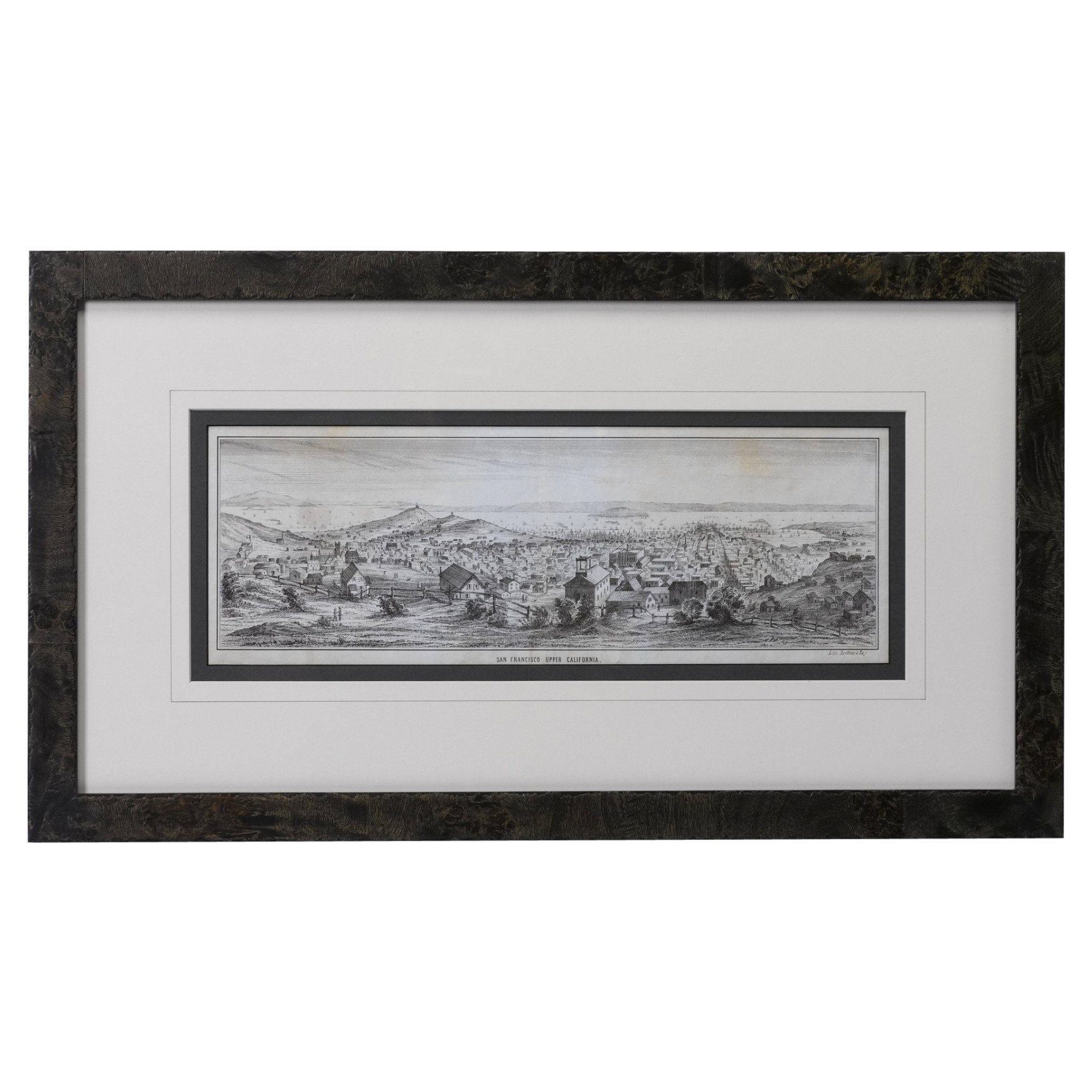
- "San Francisco, Upper California” 1851 Antique Map of San FranciscoLocated in Colorado Springs, COThis is a pictorial lettersheet view of the city and harbor of San Francisco. This lithograph was printed on grey wove paper, across a double sheet, by famed lithographers Britton & ...Category
Antique 1850s American Prints
MaterialsPaper
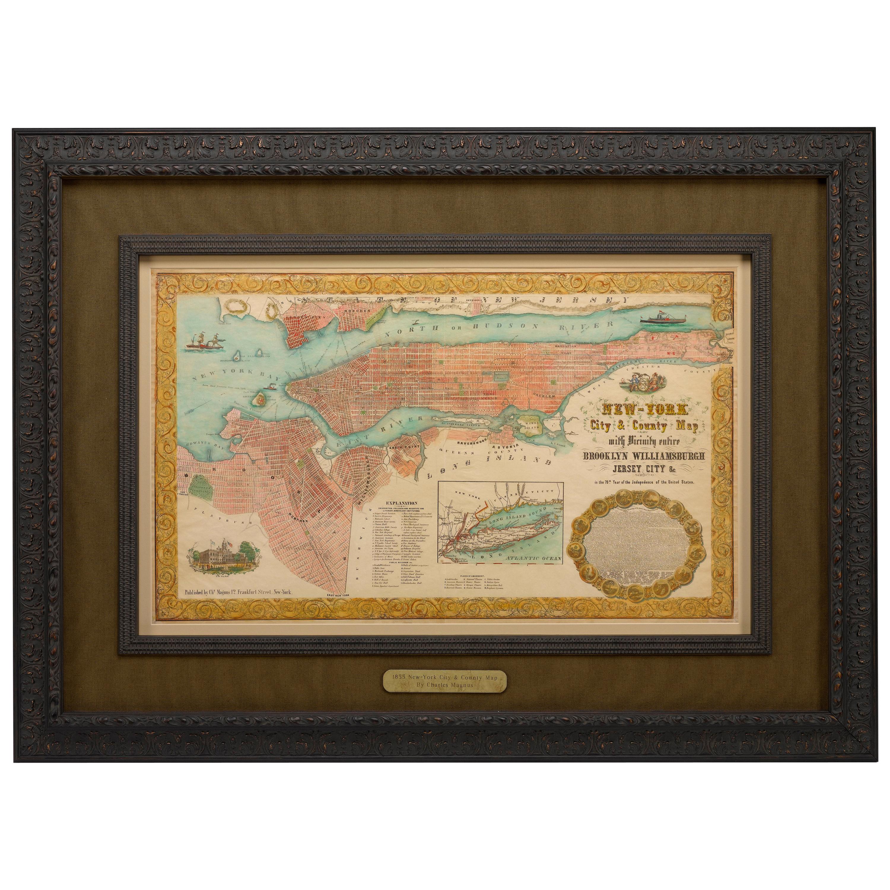
- 1855 "New-York City & County Map" by Charles MagnusBy Charles MagnusLocated in Colorado Springs, COThis is a beautiful hand-colored map titled “New York City & County Map with Vicinity entire Brooklyn, Williamsburgh, Jersey City &c.” The work was published in 1855 by Charles Magnu...Category
Antique 1850s American Maps
MaterialsPaper
- 1840 Map of the City of Washington Published by William M. MorrisonLocated in Colorado Springs, COThis map, printed in 1840, is a detailed representation of Washington, D.C. in the mid-19th century. The map shows block numbers, wards, and government buildings as well as details o...Category
Antique 1840s American Federal Maps
MaterialsPaper
- "Clason's Guide Map of Montana" by The Clason Map Company, Circa 1920sLocated in Colorado Springs, COPresented is “Clason's Guide Map of Montana,” published in the early 1920s by the Clason Map Company. Issued as a folding map, this map identifies count...Category
Vintage 1920s American Art Deco Maps
MaterialsPaper
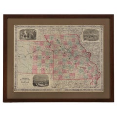
- 1865 "Johnson's Missouri and Kansas" Map by Johnson and WardLocated in Colorado Springs, COPresented is an original 1865 "Johnson's Missouri and Kansas” map. This map was issued as pages 59 and 60 in the 1865 edition of “Johnson's New Illustrated ...Category
Antique Mid-19th Century Maps
MaterialsPaper
- 1907 Map of Colorado, Antique Topographical Map, by Louis NellLocated in Colorado Springs, COThis highly detailed pocket map is a topographical map of the state of Colorado by Louis Nell from 1907. The map "has been complied from all availabl...Category
Antique Early 1900s American Maps
MaterialsPaper


You May Also Like
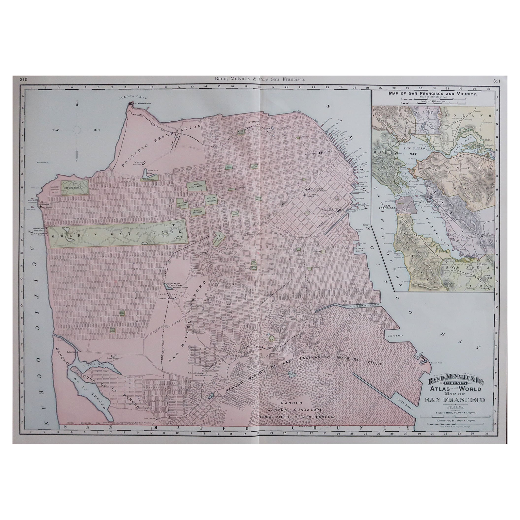
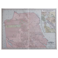
- Large Original Antique City Plan of San Francisco, USA, 1894By Rand McNally & Co.Located in St Annes, LancashireFabulous colorful map of San Francisco Original color By Rand, McNally & Co. Published, 1894 Unframed Free shipping.Category
Antique 1890s American Maps
MaterialsPaper
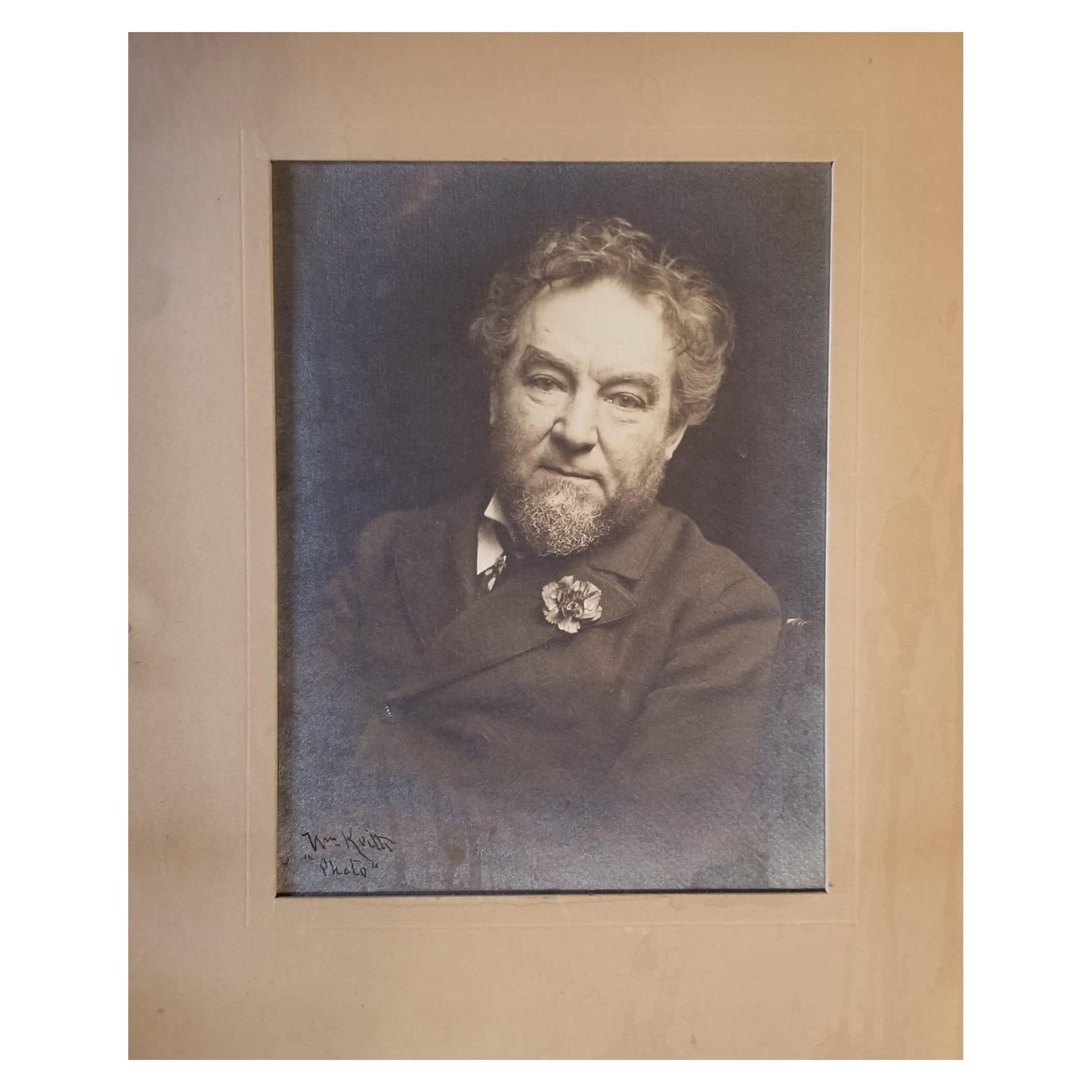
- Historic San Francisco Photograph by William KeithLocated in Fulton, CAHistoric photograph of the first mayor of San Francisco, California after the 1906 earthquake. Edward Robeson Taylor (September 24, 1838 – July 5,...Category
Early 20th Century American Edwardian Photography
MaterialsPaper
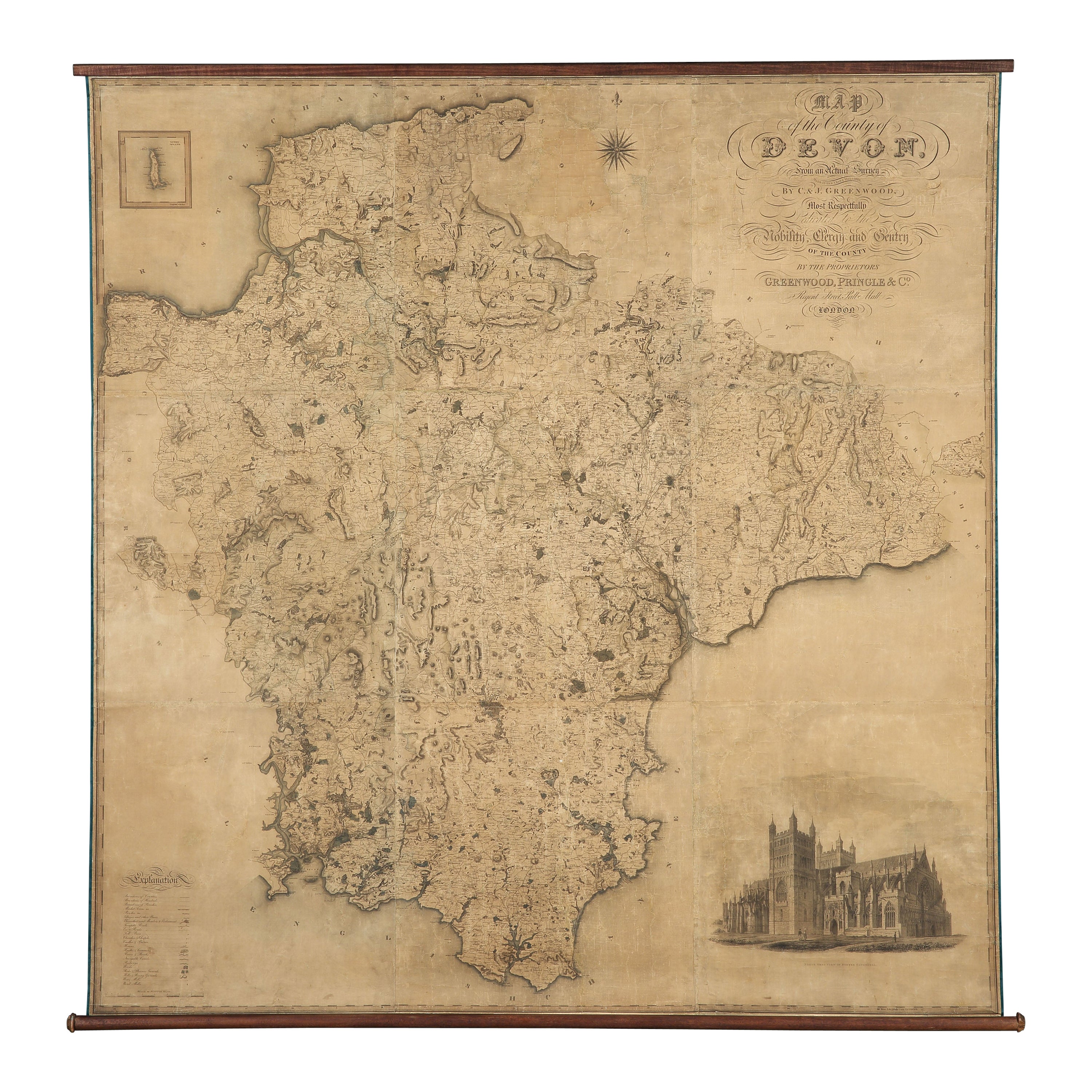
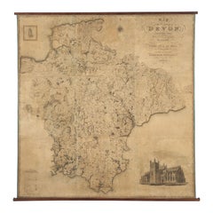
- Map Hanging Wall County of Devon C&J Greenwood 1827 Exeter Cathedral Lundy IsleLocated in BUNGAY, SUFFOLKC & J GREENWOOD MAP OF THE COUNTY OF DEVON, FROM AN ORIGINAL SURVEY, PUBLISHED 1827, WITH ENGRAVING OF EXETER CATHEDRAL AND MAP OF LUNDY INSET, 6ft 2 ...Category
Antique 1820s English Early Victorian Maps
MaterialsPaper
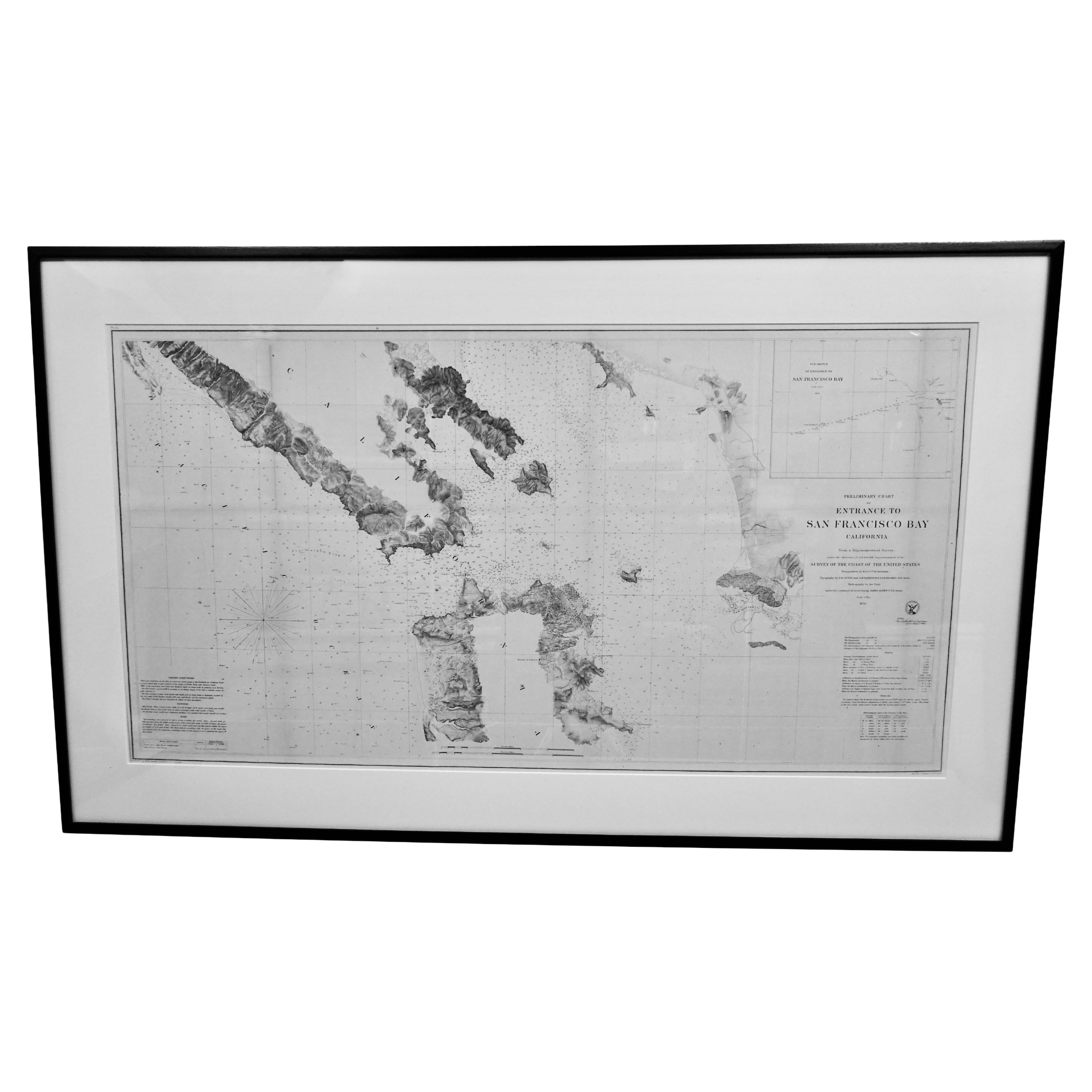
- Scarce U.S. Coast Survey Map Depicting Entrance to San Francisco Bay Dated 1856Located in San Francisco, CAA fine example of the 1856 U.S. Coast lithographic survey nautical chart of the entrance to San Francisco bay and the city. Published in 1856 by the Office of the Coast Survey the of...Category
Antique Mid-19th Century American Maps
MaterialsPaper
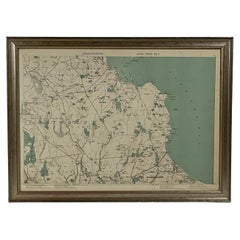
- 1891 Map of Norfolk County MassachusettsLocated in Norwell, MA1891 map of Norfolk county Massachusetts including the towns of Wrentham, Franklin, Medfield, Sherborn, Norwood etc., measures: 23 x 31.Category
Antique 19th Century Maps
- 1891 Map of Plymouth County MassLocated in Norwell, MAOriginal 1891 map showing Sandwich, Bourne, Plymouth Carver, Middleborough, Plympton and Kingston. Showing Long Beach in Plymouth also as well as all shore points. Cape Cod Bay is ma...Category
Antique 1890s North American Maps
MaterialsPaper


Recently Viewed
View AllMore Ways To Browse
Furniture In San Francisco
San Francisco Furniture
San Francisco Used Furniture
Used Furniture In San Francisco
World Map Wall
Wall Map Of The World
Antique Wall Maps Of The World
World Fair Exposition
Antique Fire Collectibles
Large Wall Map
Antique Furniture San Francisco
Large Wall Maps
Antique Paper Roll
Wood Telephone
Antique Wooden Wall Hanging
Large Antique Wall Map
Maps Rolled
Roll Map